北アルプスのライブカメラ
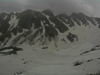
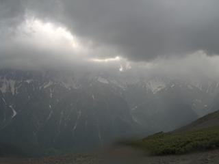
北アルプスの主要な山小屋や稜線から現在の様子を確認できるライブカメラです。 蝶ヶ岳、燕岳、槍ヶ岳、涸沢などのリアルタイム画像を掲載しています。 登山前の天候確認や積雪状況のチェックにご利用ください。 画像は地点により更新頻度が異なります。落雷、電源停止などの理由で更新が止まる地点があります。
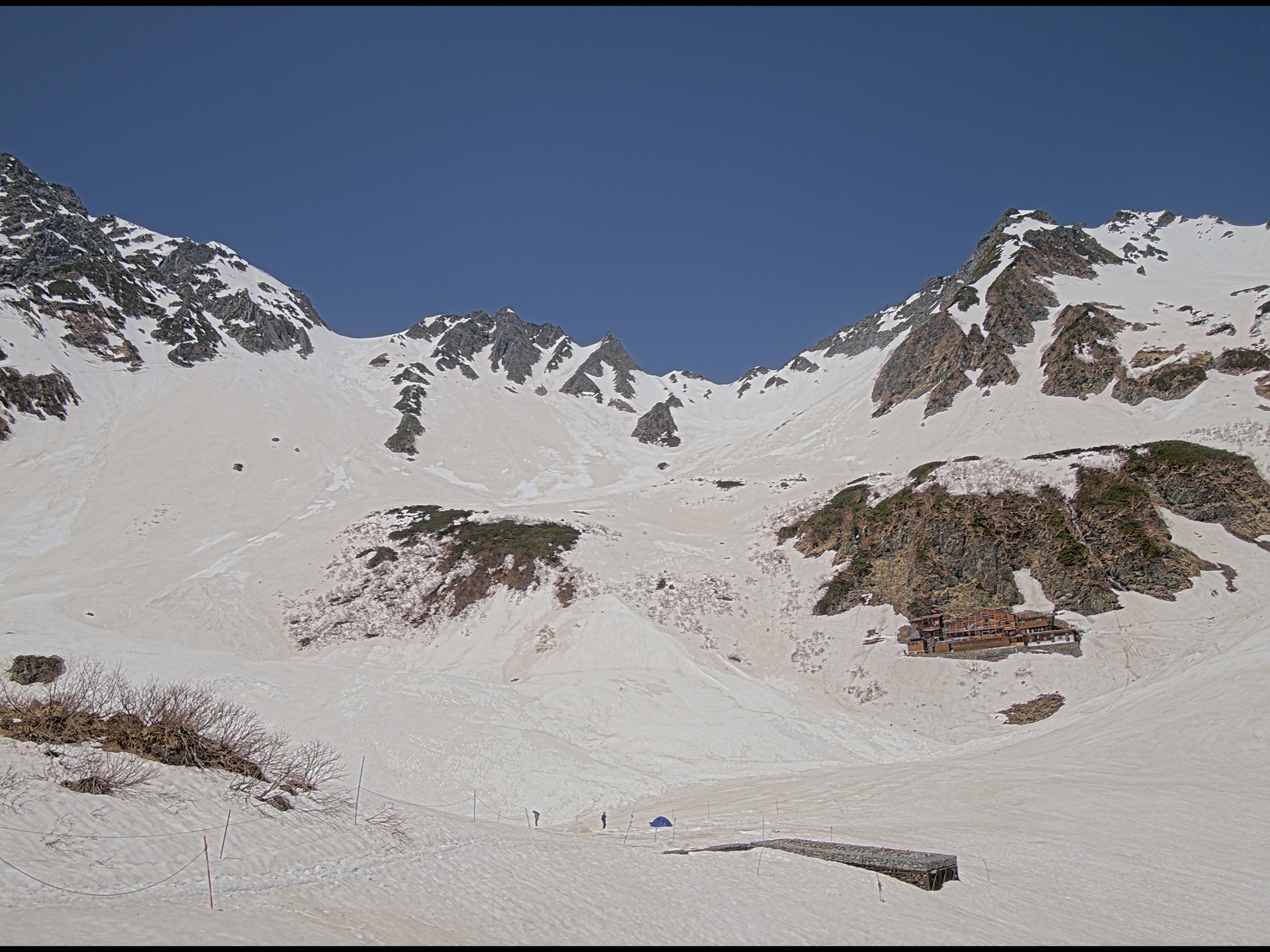
今日のベストショット

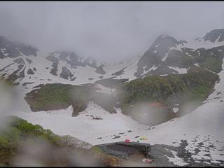
涸沢ヒュッテ
涸沢カール 2026-06-12 14:34
北アルプスのライブカメラ一覧(全9)
全地点9 稼働中7 最終更新2026-06-12 15:36


お知らせ
すべて見る →-
 2026-06-09予定日の山を、過去シーズンの画像で見られるようになりました
 -
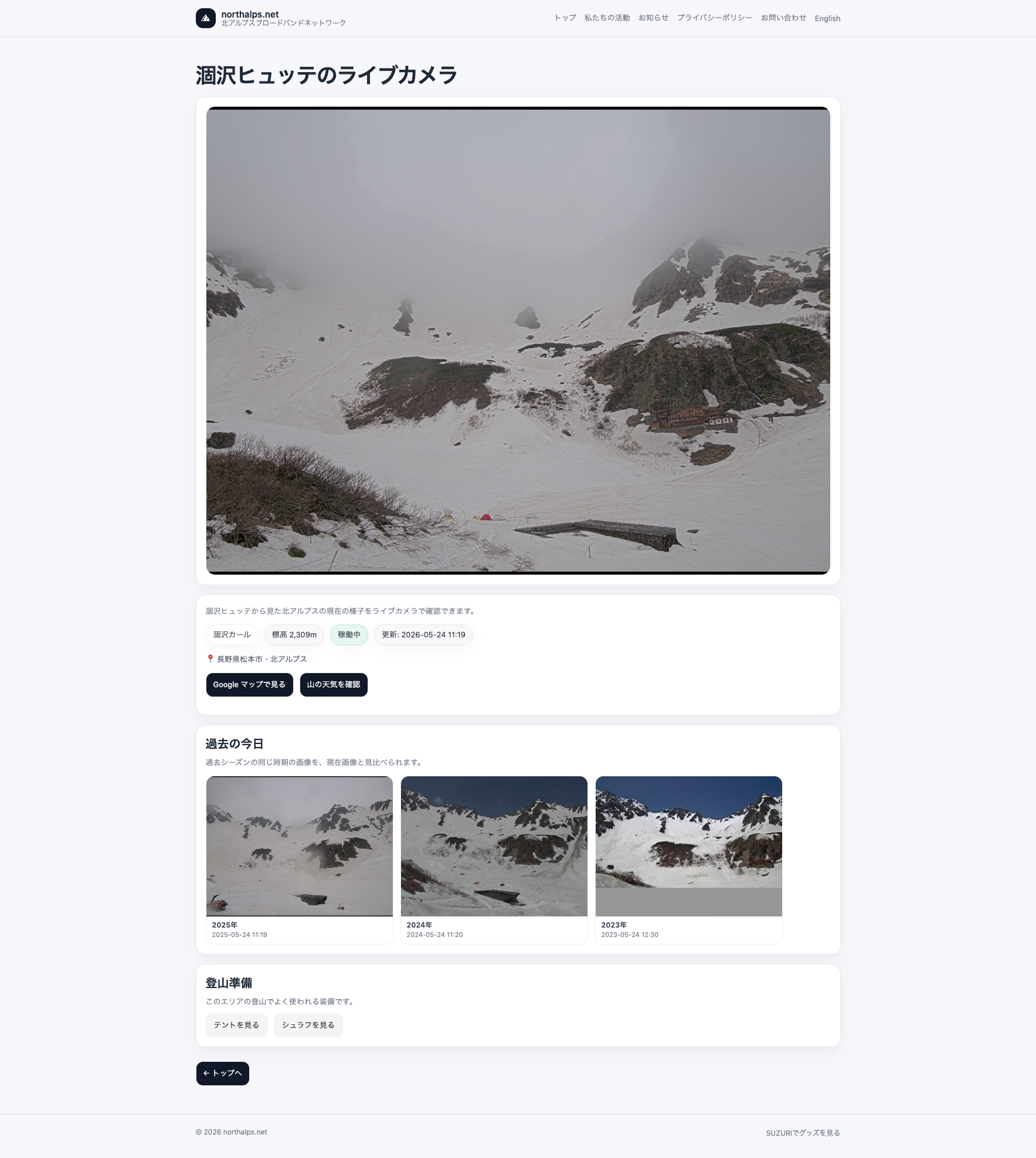 2026-05-24ライブカメラで過去シーズンの様子も比較できるようになりました
 -
 2026-05-18【2026年5月】涸沢周辺では残雪が確認できます